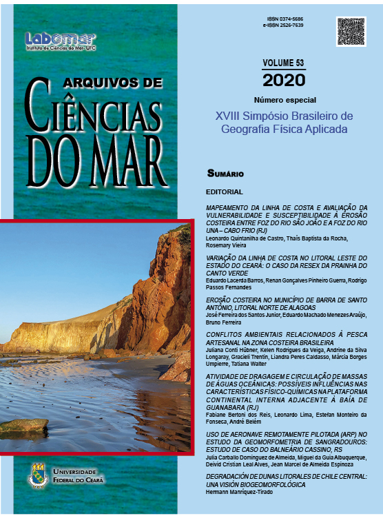
MAPEAMENTO DA LINHA DE COSTA E AVALIAÇÃO DA VULNERABILIDADE E SUSCEPTIBILIDADE À EROSÃO COSTEIRA ENTRE A FOZ DO RIO SÃO JOÃO E A FOZ DO RIO UNA – CABO FRIO/RJ
DOI:
https://doi.org/10.32360/acmar.v53iEspecial.42696Resumo
O presente trabalho trata de uma avaliação da vulnerabilidade e susceptibilidade à erosão costeira através do uso de geoindicadores e do mapeamento da linha de costa entre a foz do rio São João e a do rio Una no município de Cabo Frio (RJ). Devido à ocorrência de eventos com ondas de alta energia, foram identificadas características erosivas em parte do arco praial, mesmo que tal praia não possua um quadro de erosão costeira constatada. A metodologia adotada envolve o uso de geoindicadores para a análise de dois pontos no arco praial, através do uso de uma série temporal de fotografias aéreas e imagens de alta resolução
(anos 1970, 2005 e 2018) para a classificação do uso do solo da orla marítima e vetorização da linha de costa em ambiente SIG. Os resultados mostram que o ponto localizado mais ao norte do arco praial possui uma alta vulnerabilidade e susceptibilidade à erosão costeira, enquanto no ponto mais ao sul há uma baixa vulnerabilidade e susceptibilidade. Havendo um alto crescimento urbano e a intensificação da ocupação na orla marítima, com construções próximas ao perfil dinâmico praial, esta passa a sofrer ataque direto das ondas de alta energia. Em meio às possíveis alterações no clima, projetadas em estudos recentes, com elevação no nível médio do mar, maior frequência de eventos extremos, aumento da potência das ondas e ocupação massiva dos ambientes costeiros, estudos que embasem o planejamento de ocupação e gestão da orla marítima fazem-se necessários.
Palavras-chave: geoindicadores, praias arenosas, linha de costa, erosão costeira.
Downloads
Downloads
Publicado
Como Citar
Edição
Seção
Licença
1. Proposta de Política para Periódicos de Acesso Livre
Autores que publicam nesta revista concordam com os seguintes termos:
- Autores mantém os direitos autorais e concedem à revista o direito de primeira publicação, com o trabalho simultaneamente licenciado sob a Licença Creative Commons Attribution que permite o compartilhamento do trabalho com reconhecimento da autoria e publicação inicial nesta revista.
- Autores têm autorização para assumir contratos adicionais separadamente, para distribuição não-exclusiva da versão do trabalho publicada nesta revista (ex.: publicar em repositório institucional ou como capítulo de livro), com reconhecimento de autoria e publicação inicial nesta revista.
- Autores têm permissão e são estimulados a publicar e distribuir seu trabalho online (ex.: em repositórios institucionais ou na sua página pessoal) a qualquer ponto antes ou durante o processo editorial, já que isso pode gerar alterações produtivas, bem como aumentar o impacto e a citação do trabalho publicado (Veja O Efeito do Acesso Livre).

